


montignac 230617

Julliengamo
User

Length
28 km

Max alt
273 m

Uphill gradient
464 m
Km-Effort
35 km

Min alt
71 m

Downhill gradient
647 m
Boucle
No
Creation date :
2023-06-17 09:20:23.519
Updated on :
2023-06-17 14:35:06.385
2h25
Difficulty : Difficult

FREE GPS app for hiking
 SityTrail
IGN / Geographical institutes
SityTrail Plus
The world is yours!
About
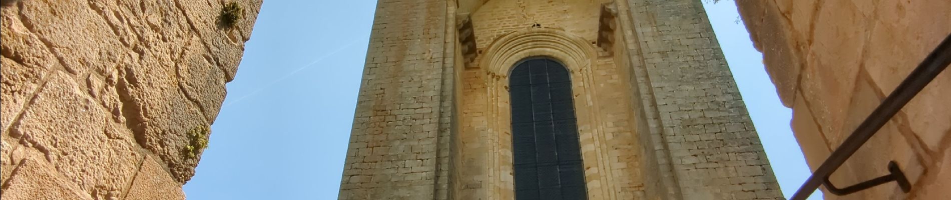
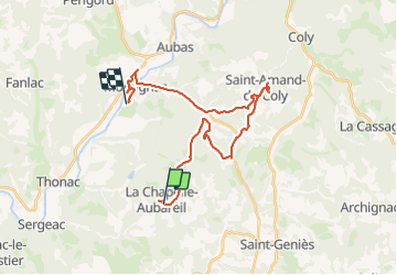
Trail Mountain bike of 28 km to be discovered at New Aquitaine, Dordogne, La Chapelle-Aubareil. This trail is proposed by Julliengamo.
Photos


Positioning
Country:
France
Region :
New Aquitaine
Department/Province :
Dordogne
Municipality :
La Chapelle-Aubareil
Location:
Unknown
Start:(Dec)
Start:(UTM)
356835 ; 4985930 (31T) N.
Comments